By Aurélie Shapiro – Senior Remote Sensing Specialist, WWF-Germany
Accompanying the article: “Cloud-native Seascape Mapping of Mozambique’s Quirimbas National Park with Sentinel-2”
The coral reefs and associated seascapes of norther Mozambique are some of the most resilient, intact in the world, part of a global portfolio of 50 important reefs. Alas, in the time of pandemics and instability and insecurity, remote sensing-based monitoring plays a more important role than ever.

In this latest publication, WWF-Germany’s Space+Science team and WWF-Mozambique, in collaboration with the German Aerospace Center (DLR), and the Foundation for Research and Technology – Hellas (FORTH) use freely available Sentinel-2 to map the underwater habitats of the Quirimbas National Park. Recently designated as a UNESCO Biosphere Reserve, this protected area established in 2002 by WWF has protected more than 7500 sq. km of rich miombo forests (which include four of the “big five” species) along with a marine component covering coral reefs, islands, mangroves and abundant marine life, including all five species of protected marine turtles.
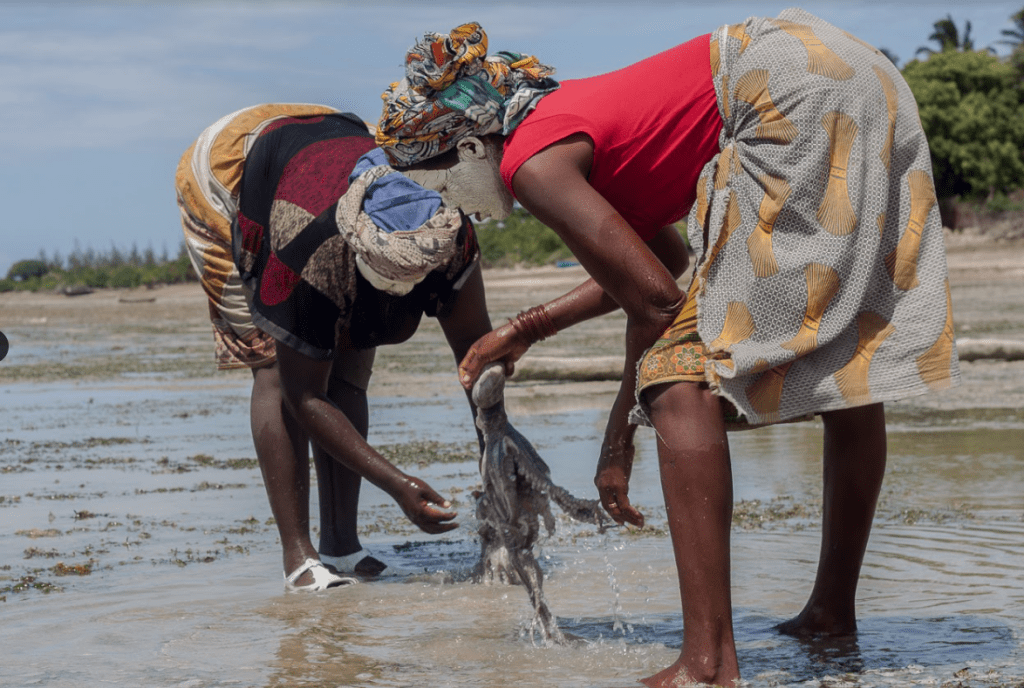
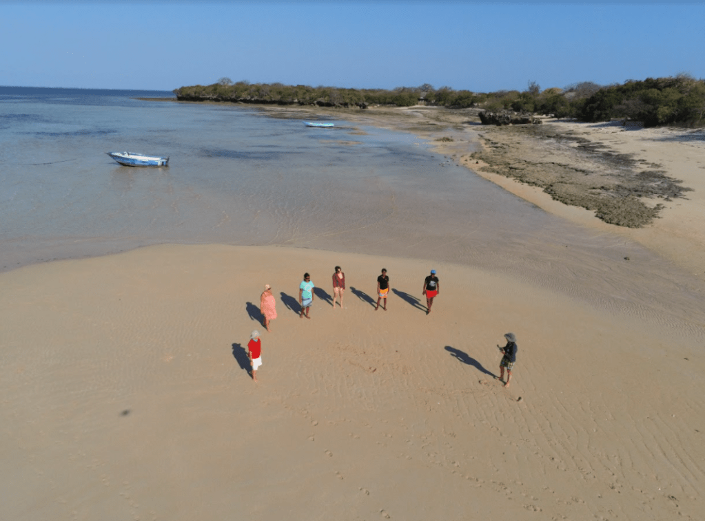
This study demonstrates an entirely cloud-based approach to semi-automated image processing which was originally developed for temperate seagrass mapping, but applied to this tropical seascape. The process creates cloud-free composites from raw Sentinel-2 images; masks land, removes the effects of sun glints and surface artefacts and finally correcting for the water column effects by deriving relative water depth. Three major habitat types are classified using machine learning algorithms calibrating by training data collected in the field via mobile applications from boats and additional high-resolution data from satellite and drones. The 2018 expedition to Quirimbas was led by an entirely female science team who managed to ground truth almost the entire protected area. The stability of the Sentinel-2 sensor is also providing opportunities for sub-pixel assessments using spectral unmixing, as well as repeated monitoring to assess the impacts of the significant cyclone season in 2019 and other impacts of climate change.
The automated, cloud-based approach to image processing using Google’s Earth Engine platform provides a new chapter in accessible, scalable and repeatable seascape monitoring which is particularly relevant at this time, when access to the area is limited due to impacts of the global covid-19 pandemic compounded by security threats from terrorism.
The authors are eager to expand their efforts to the regional scale to provide repeatable, consistent monitoring with readily accessible satellite data from ESA’s Copernicus program – the frequent revisit and improved spatial resolution over Landsat are providing robust datasets for seascape monitoring, with data being made accessible via WWF’s GLOBIL platform. This effort complements higher resolution efforts such as the Paul Allen coral atlas, and combines with existing mangrove monitoring efforts to provide comprehensive seascape mapping and monitoring, to support protected areas planning, management and monitoring activities which are vital to securing sustainable long term fisheries and livelihoods to local communities.